Spring Flooding Information
The City of Fargo has developed a detailed plan to address flooding. This plan has been refined over the years with exceptional data collection and detailed input by key staff members. The plan includes three primary phases:
- Phase I: Road Closures
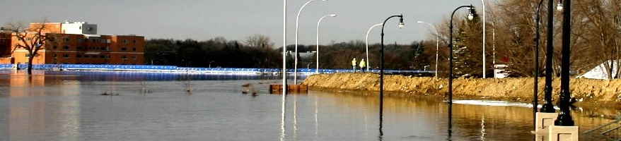
The plan outlines which roads should be closed as the Red River Levels reaches various stages. Road closures begin when the Red River reaches 18 feet. - Phase II: Levee Placement
When the Red River at Fargo reaches the flood stage of 36 feet, the City will start emergency protective measures by building earth and sandbag levees. - Phase III: Cleanup and Recovery
After a flood event, the City of Fargo will assist with the removal of temporary protective walls on public property such as clay levees and sandbag walls. Some private property owners may also be eligible for cleanup and restoration assistance.
Flood Categories
Primary (ft):
- Action: 17 ft
- Minor: 18 ft
- Moderate: 25 ft
- Major: 30 ft
Secondary (kcfs):
- Action: 0.929 kcfs
- Minor: Not Set
- Moderate: Not Set
- Major: Not Set